GIS Mapping & Diamond Map Use - Virtual
Event Details
GIS Mapping & Diamond Map Use for LSLI – Virtual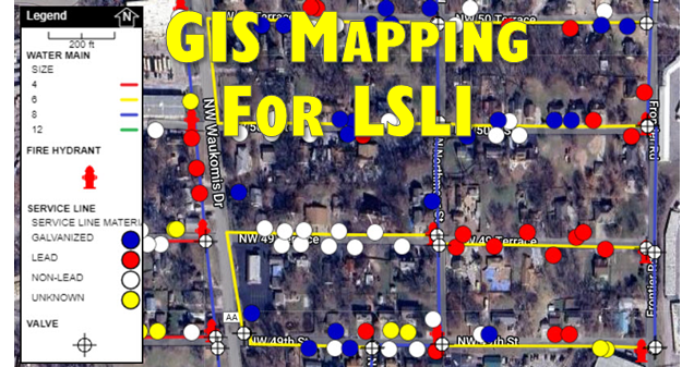
July 24, 2024
9:00 am – 12:00 pm
Virtually streamed from
MRWA Office Studios
901 Richardson Drive
Ashland, MO 65010
Course Description:
This course is available for virtual attendance through ZOOM. The course will share information with systems on GIS Mapping & DiamondMaps use for lead service line inventory.
MoDNR Course # 2408792
Operator Credit:
This session offers the following credit hours:
DW – 1.5
DS – 3.0
WW- 1.5
Instructors:

Brandon Decker, MRWA GIS Mapping Specialist

Jim Patton, MRWA EPA Water TTA/Small System Circuit Rider
Who Should Attend?
Any Utility Personnel (Water, Board/Council members) seeking information on the use of GIS Mapping/Diamond Maps for Lead Service Line Inventory.
THIS SESSION IS FREE!
REGISTER WITH THE LINK BELOW:
https://us06web.zoom.us/meeting/register/tZ0lcO2ppjouGtxXFBLf4B3MEDdAdZsdXqMO
If you have any special needs, please let us know at least one week before the class and we will strive to meet them.
For more information contact us at 573-657-5533 or 1-800-232-MRWA.
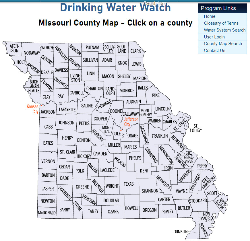
CLICK HERE or the Missouri Map TO FIND YOUR SYSTEM ID # using MoDNR’s Drinking Water Watch.